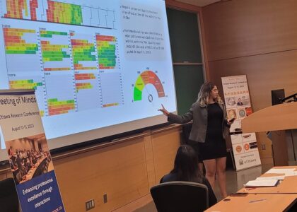
Archan Dabadi.
Global Positioning Systems (GPS) have revolutionized navigation and positioning technology, enabling accurate location determination for a wide range of applications. Among the various GPS techniques, Static GPS (SGPS) and Real-Time Kinematic GPS (RTK GPS) are two widely used methods that offer distinct advantages and limitations. SGPS involves collecting data over an extended period, while RTK GPS provides real-time, high-precision positioning.
This research, conducted at the Centre of Geographic Science in Lawrencetown, Nova Scotia, aimed to compare the accuracy of a static network design and real-time kinematic global positioning system (RTK GPS) in determining positions. The research was designed to allow a comparison of the accuracy of static and real time kinematic global positioning system along with understanding the error factors involved in the process. The study involved comparing the positions obtained from the static survey and RTK GPS to their published values. By examining the disparities between the published values and the two data collection methods, the research sought to understand the factors affecting the accuracy of the systems.
A network consisting of five monuments was designed to meet the highest order for the static survey as per Federal Geodetic Control Committee (FGCC) standard. Real Time Kinematic GPS was performed on the same monuments that were used for static. The desired standard for the RTK survey was within the range of ± 1cm horizontal accuracy.
The accuracy of static observations after adjusting with control points are within 5 cm for vertical and within 1 cm for horizontal. The main reason for higher uncertainty in vertical direction is because of difficulty in measuring and keeping record for the antenna heights due to heavy downpour. It was also understood that the RTK survey did not meet the intended standards but was acceptable considering the effects of weather on observations. The results were within 5 cm in both horizontal and vertical components.
The level of accuracy observed during the study for both Static and RTK is well suited to design base stations for the surveys that are applicable to industries such as agriculture, environment, and mining. The error factors identified by the study need to be addressed before attempting to design surveys with higher requirement standards. Cadastral surveys, displacement surveys, areal mapping, construction, and geodetic control surveys all require a higher degree of accuracy than obtained from the study.
Survey design parameters such as network setup, antenna height measurements, elevation mask selection, satellite availability, location of the desired stations, units of measurements, redundancy and even the experience of the surveyor factors in the process of obtaining desired level of accuracy. It is also therefore necessary to have survey simulated beforehand on the table/or computer modelling for efficiency and prepare for contingencies.
View/Download the presentation from here.
Keywords: GPS, Static Survey, RTK Survey
Author: Archan Dabadi and Courtney Dow
Center of Geographic Sciences (COGS), Lawrencetown, Nova Scotia, Canada


